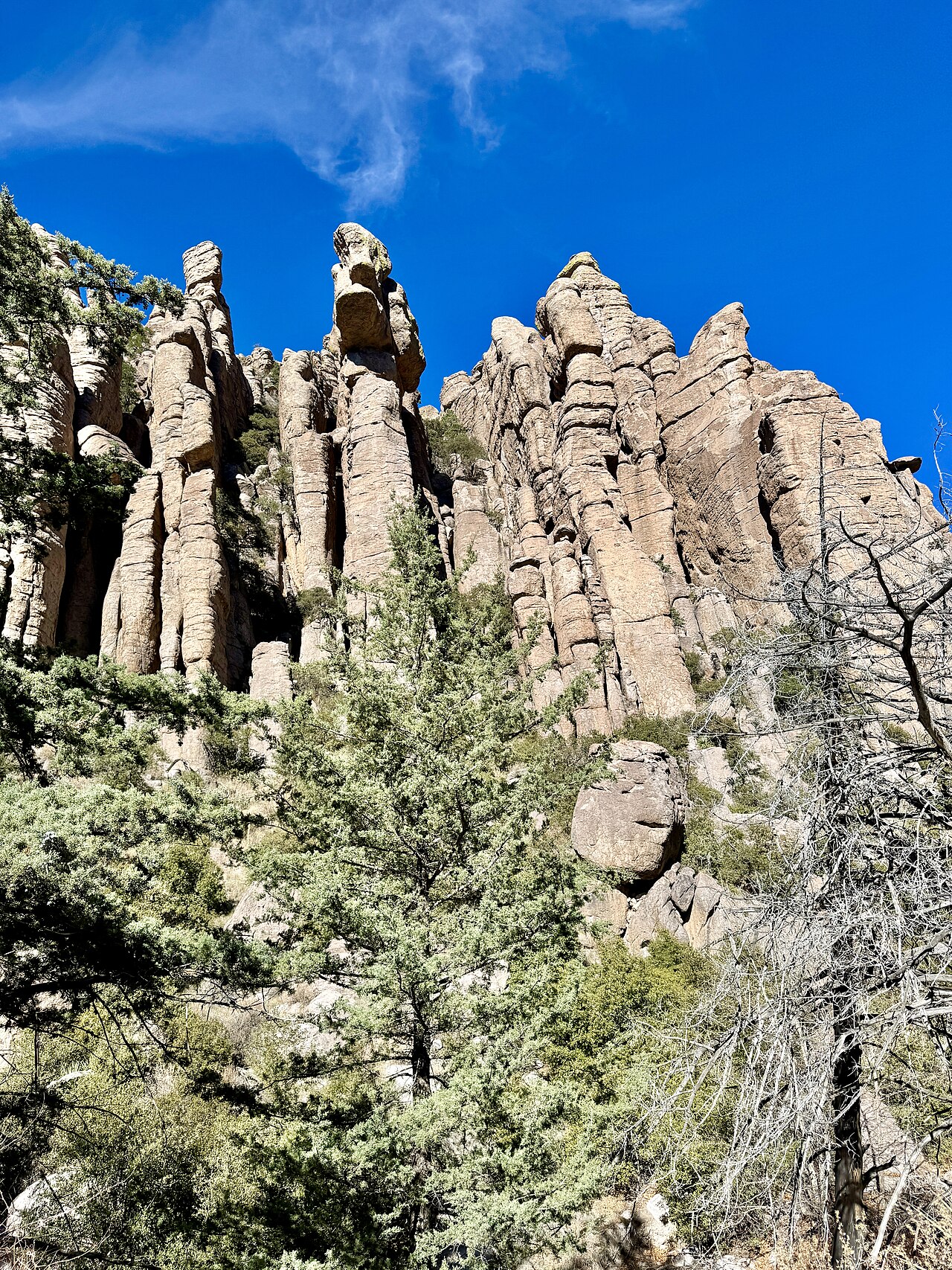
NASA’s Earth Observatory featured Chiricahua in southeastern Arizona on October 28, explaining how ancient volcanic deposits, erosion and weathering produced its distinctive rock pillars and canyons. The feature describes the area’s October 2026 redesignation as a national park.
Its satellite view was captured by Landsat 9 on July 2, 2026, rather than on the feature’s publication day. NASA describes a landscape shaped by a volcanic eruption about 27 million years ago. The photograph accompanying this brief is a separately credited archival ground-level view.
Sources & references
See an error? Request a correction.